
Building Infrastructure on Accurate Spatial Data
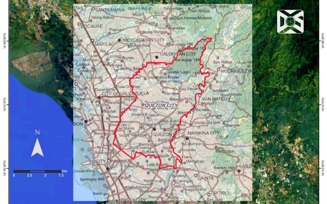
Modern infrastructure projects rely on GIS to turn complex data into actionable insights, starting with georeferenced base maps. Serving as the primary reference, it maps essential features including roads, boundaries, terrain, and structures. Georeferencing aligns base maps to real-world coordinates, ensuring survey results, designs, and layouts fit precisely on the ground.
At Datum One Surveys (DOS), we recognize that every successful infrastructure project begins with reliable spatial data. Through our expertise in geodetic surveying, GIS, and geospatial solutions, we develop accurate georeferenced base maps that provide engineers, planners, developers, and government agencies with a dependable foundation for informed decision-making.
This alignment guarantees reliable engineering calculations, directly driving the overall success of the project.
Why Accurate Georeferenced Base Maps Matter
In engineering practice, correct position translates directly into accurate results. Missed spatial alignment causes positional errors, leading to incorrect measurements that disrupt design and construction.
Georeferenced base maps ensure terrain data matches real conditions, allowing accurate elevation and slope calculations for infrastructure. Accurate positioning ensures dependable, consistent area and volume computations for land measurements and material estimates.
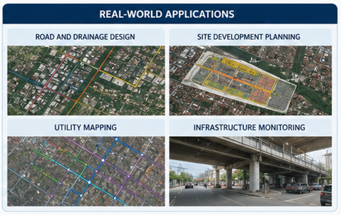
At DOS, we combine industry-standard surveying practices with advanced GIS technologies to produce high-quality spatial datasets that meet the accuracy requirements of engineering, environmental, utility, transportation, renewable energy, and land development projects.
Integrating Field Survey Data with GIS
Precise field survey data achieves full value when aligned with correctly georeferenced base maps for accurate execution.
By integrating precise field survey data with reliable GIS workflows, DOS helps clients minimize errors, improve project coordination, and establish a consistent spatial reference from planning through construction.
Supporting Better Project Planning and Decision-Making
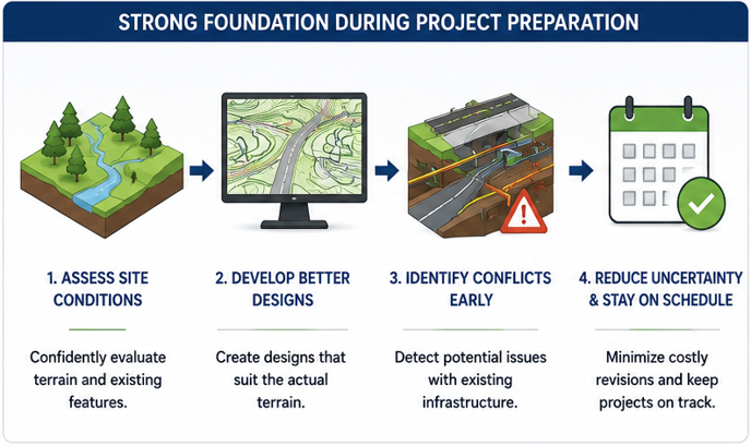
During the preparation stage of engineering projects, this level of accuracy provides a strong foundation for informed decision-making. Teams can confidently assess site conditions, develop designs that suit the actual terrain, and identify potential conflicts with existing infrastructure before construction begins. This reduces uncertainty, minimizes costly revisions, and helps keep projects on schedule.
For project owners, consultants, and contractors, this translates into reduced project risks, faster decision-making, improved cost efficiency, and greater confidence that engineering designs accurately reflect real-world conditions.
Datum One Surveys: Delivering Reliable Geospatial Solutions
Ultimately, a properly georeferenced base map is more than just a background layer; it is the framework that supports every calculation, analysis, and design decision. Anchoring data to real-world positions empowers engineers to deliver precise, efficient, and confident infrastructure projects.
Datum One Surveys delivers precise geospatial solutions across the Philippines, empowering confident engineering decisions with advanced technology.
Partner with Datum One Surveys
Need reliable GIS and surveying solutions for your next project?
Datum One Surveys provides professional geodetic surveying, GIS mapping, drone surveying, LiDAR, hydrographic surveying, and engineering support services tailored to infrastructure and development projects.
Contact us today to discover how our geospatial expertise can help deliver your next infrastructure project with confidence