
About Us
The first word in our name “DATUM” comes from a surveying term which stands for “reference” wherein all survey activities are based from. The combination of the words DATUM ONE will stand to our aim of setting benchmark in the practice of geodetic engineering in the Philippines and acceptable to global standards. Our aspiration is to serve as industry’s primary standard when it comes to delivering quality operation productions in the field of surveying. Therefore, we stand by the name, “DATUM ONE SURVEYS.”
Why Choose Us?
At Datum One Surveys, precision isn’t just a goal—it’s our standard. We provide accurate, up-to-date survey data and interactive maps that power your land use and development plans. With cutting-edge technology and a commitment to quality, we ensure your projects are built on the most reliable, real-time information available. With Datum One Surveys, we deliver precision that exceeds expectations. We equip you with the tools needed to make informed decisions and execute projects with confidence. Choose us—where every survey is done right, every time.

Our Purpose
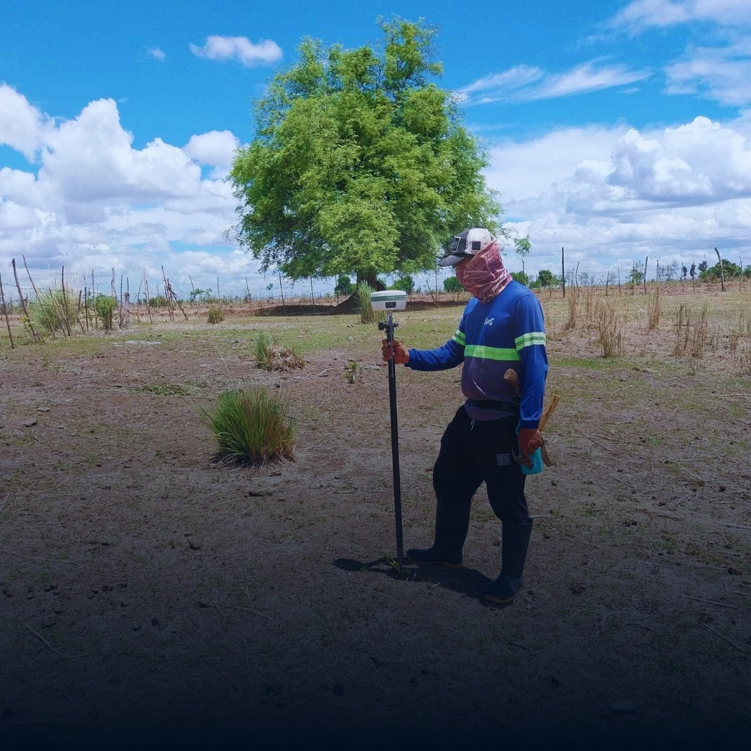
To primarily engage in and provide property surveys, which include relocation, subdivision, parcellary, topographic surveys, construction surveys, hydrographic surveys, and other geodetic surveys that use surveying and mapping equipment such as graduated rods, measuring tapes, transits, levels, theodolites, fathometers/echosounders, electronic distance meters, global positioning systems, stereoplotters, unmanned aerial vehicles, and all other instruments that are used to determine metes and bounds of land positions of points on the surface of the earth, water depths, and other instruments used for construction survey, and those instruments used to guide the installation of large industrial equipment and machineries.
Mission
To adhere with the international standards in the field of Geomatics and Surveying through the use of modern technology, advanced field techniques, improved work ethics and discipline that will lead in achieving maximum productivity, growth in the engineering practice, and realizing a better life for the community.
Vision
To be a leading Filipino engineering surveying firm providing reliable geospatial services needed in land use planning and development, infrastructure projects, mining, energy, and environmental studies.